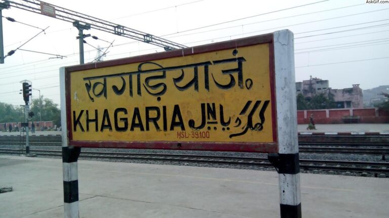
Khagaria having total area of approx 1500 sqkm and elevation of 36 meters is a part of MUNGER Division located on the confluence of two rivers – Ganga and Gandak was created as independent district in 1981 from MUNGER District.
Population of Khagaria in 2001 was 45,126 (Male ,Female ) and in 2011 it is 49,406 (Male ,Female )
Till recently KHAGARIYA used to be innundated by flood menace because of Five Rivers criss crossing the entire areas .Recurrence of floods was an annual affair, as five major rivers – The Ganga, The Gandak, The Bagmati, The Kamala and The Koshi – all used to have free hand for time immemorial. That is why there is not a single historical structure .This caused Todar Mal who was to survey this area – could not and named this area as Farak Kiya (means excluded from survey ) ie PHARAKIYA (totally separate ) PARGANA.
But after 1960s many roads , dam and barrage has controlled the menace and slowly development is taking place.
SUBDIVISIONS – Two
- KHAGARIA 2.GOGRI
BLOCKS –
1.ALAULI 2. BELDAUR 3. CHAUTHAM 4. GOGRI 5. KHAGARIA 6. MANSI 7. PARBATTA
| A few Information about KHAGARIYA | |
| Subdivisions | 2 |
| Blocks | 7 |
| Panchayats | 129 |
| Villages | 306 |
| Health Centre | 31 |
| Primary School | 544 |
| Middle School | 517 |
| Higher Secondary School | 41 |
| Private Schools | NA |
| Colleges | 10 |
INDUSTRIES –
REGISTERED INDUSTRIAL UNITS – 890
| Agro based | 356 |
| Readymade garments and embroidery | 6 |
| Wood/wooden based products | 119 |
| Paper and paper products | 6 |
| Leather based | 16 |
| Chemical & chemical based | 53 |
| Mineral based | 42 |
| Metal based | 98 |
| Engineering units | 8 |
| Electrical machinery and transport Equipment | 45 |
| Repairing and servicing | 40 |
| Others | 102 |
Sorry, no records were found. Please adjust your search criteria and try again.
Sorry, unable to load the Maps API.
